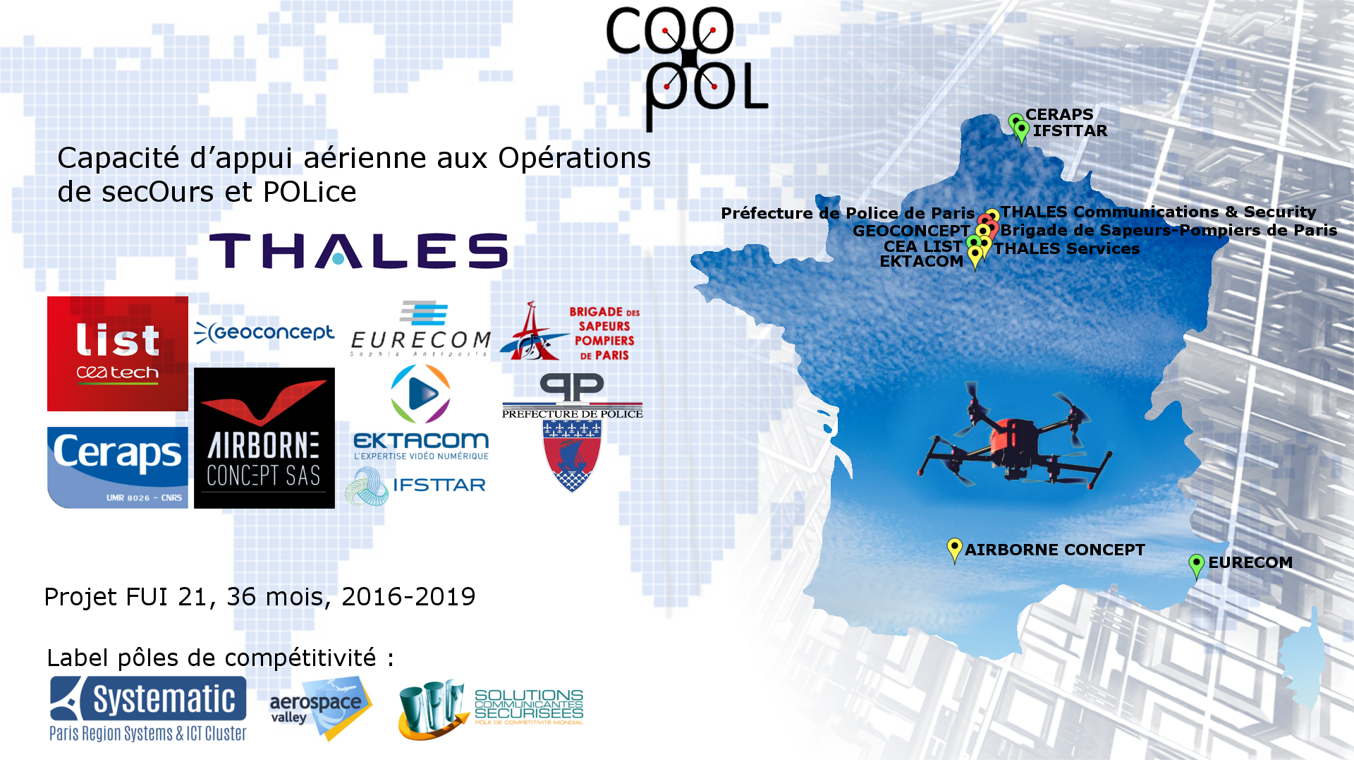
Capacité d’appui aux opérations de secours et police
Emergency and rescue support for police
|
Recreational drones represent today an extremely dynamic market. Professional aircraft operated remotely are beginning to find commercial opportunities, particularly in the field of aerial photography. The mechanical platforms used by this type of systems have reached maturity in terms of speed, altitude, wind resistance, range and payload. The transmission of data to a ground station has also made considerable progress. To comply with the regulations, this type of professional system requires the presence of a drone operator to control it from the ground. The missions of the emergency services and the police intervention forces could benefit from the use of an aircraft system capable of being deployed rapidly and equipped with sensors allowing the real-time analysis of the event in coherence With the other means used. Three generic needs have been identified by the emergency and police services:
COOPOL project " Capacité d’appui aux opérations de secours et police " aims to develop a system based on the use of light aircraft controled by an “operator" and whose data will be exploited by an "operator Sensor "to inform in real time the commandment. The developed system is dedicated to support emergency services and intervention forces in urban areas. It will be designed to evolve in a complex environment (low altitude flights, people located under the aircraft, obstacles, ...) while ensuring the continuity of the operations. This continuity is essential: it must meet the autonomy constraints and the constraints related to the different environments in which the drones are supposed to evolve. The COOPOL system aims to cover, in coherence with the other available tools, these three scenarios: |
Scenario 1Site recognition |
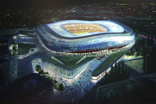
Scenario 2Surveillance of major events |
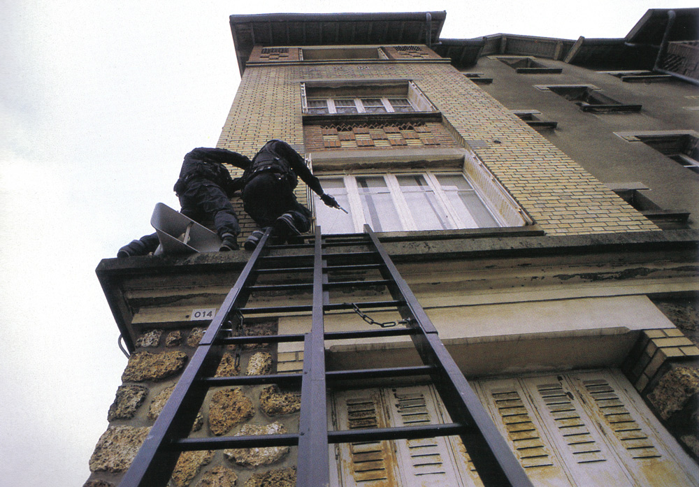
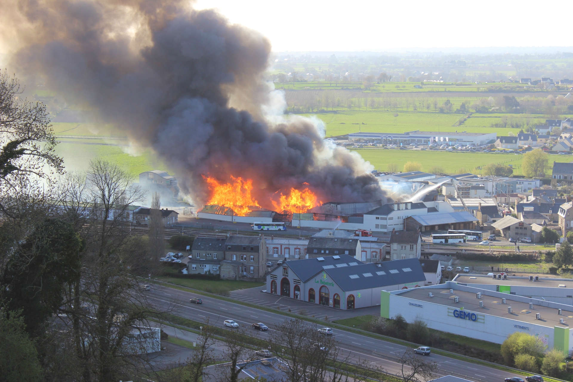
Scenario 3Emergency support for interventions |
 |
 |
 |
|
Site recognition (visual, mapping, ...) prior to security forces intervention to obtain ambient information on sites that are difficult to access (related to a threat or a risk) or present significant elongations. |
Surveillance of major sporting and cultural events or planned gatherings, in particular by detecting particular events (crowd movement of or violent events, multiple fire triggers, explosion, immobility of many individuals). |
Emergency support during interventions to provide image information by providing real-time knowledge of the situation. For police forces, this would make it possible, through more precise elements, to detect and track people, vehicles or groups. For fire and rescue services, this would make it possible to anticipate the propagation or aggravation of perilous situations |

|

|

|

|